and Society (CLICCS)
Olena Dubovyk joins CLICCS and the MIN facultyView from high above: "We zoom in on the surface to a scale of just one meter"
15 April 2024, by Franziska Neigenfind

Photo: Eivind Senneset
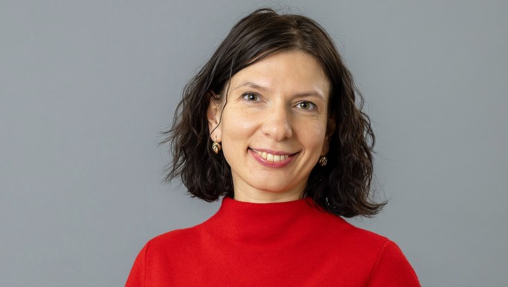
Welcome to Universität Hamburg! Prof. Dr. Olena Dubovyk came to Hamburg from the University of Bergen, assuming the W2 professorship "Earth System Sciences, in particular Terrestrial Remote Sensing."
Ms. Dubovyk, you last worked as a professor of remote sensing in Norway. What prompted you to return to Germany?
The call for applications from Universität Hamburg simply fit my profile perfectly. Remote sensing of the atmosphere and the ocean is well established in Hamburg. I'm really looking forward to being able to fill the vacant professorship with a focus on land-based remote sensing. I also know Germany well and am well connected here; I did research at the University of Bonn for many years and worked as coordinator of the Center for Remote Sensing of Land Surfaces, among other things. And of course, Hamburg is a very vibrant and attractive city that offers a lot of culture, nature, and high quality of life. It is a very international, cosmopolitan city – another important aspect for my family and me.
What about Universität Hamburg appeals most to you?
I was primarily motivated by the excellent opportunities for interdisciplinary collaboration and the exceptional research environment we have here. The Cluster of Excellence for Climate Research "CLICCS – Climate, Climate Change and Society" and the Center for Earth System Research and Sustainability (CEN) offer me vital platforms for working together with experts from different disciplines on pressing issues of our time, while also pursuing my own work in the geosciences. I was also impressed by the access to research structures and resources.
What role do the topics climate change and sustainability play in your work?
An essential part of my research consists in investigating how profoundly we humans are changing the Earth's land areas and how this affects the environment, human well-being and climate variability. This includes, for example, the loss of biodiversity or changes in agriculture, as well as armed conflicts. I'm investigating how the quality of the land is declining in many parts of the world. I've mostly investigated this in various regions of Africa, and in Central Asia. A second important focus is on biodiversity, where I'm mapping and monitoring the biodiversity changes at several sites in Germany and Norway. My third focus is on natural hazards that are directly related to climate change: In Germany, for example, we're seeing a significant increase in heatwaves and droughts, which affect harvests and livestock farming and result in economic losses. I would like to continue researching this in Hamburg and use information from multi-sensor remote sensing to help improve climate models and better predict climatic hazards, such as droughts, and their future frequency and impacts. In this regard, I will work together with colleagues from climate modelling as well as from the social and economic sciences.
What exactly is remote sensing?
Through remote sensing, I can obtain information about an object or phenomenon without making physical contact. Instead, I use image data generated by various sensor systems – for example, aircraft, drones, or satellites. When I describe my work to my family, I compare the sensors to super powers that allow us to look at the Earth from far above and see all the details – fields, trees, cars – very clearly.
In other words, a snapshot of the Earth from above?
Yes, above all, taking satellite images of the same spot at regular intervals allows us to observe changes precisely. For example, we can see indications of where there are particularly endangered areas, such as hotspots of biodiversity decline, land degradation and deforestation. In remote sensing or Earth observation – two terms we often use interchangeably – we're entering a whole new era, as the availability of data is greater than ever before. Many countries, including Germany, operate extensive satellite programs and make them freely and openly accessible for research and education.
How does this affect your work?
Scientists around the world can now observe changes on Earth with unprecedented accuracy. In my research, I use satellite images that allow us to zoom in on the land surface down to a scale of one meter with a frequency of one day. So, we can monitor changes on the Earth's surface anywhere in the world, every day, at a resolution of just one meter. This will generate huge amounts of data. However, it will also present us with new challenges – how to deal with this wealth of data, how to process it, and where to store it.
Do you also incorporate these advances in your teaching – and what plans do you have for students?
So far, terrestrial remote sensing hasn't been systematically taught at Universität Hamburg. I plan to offer courses that reflect the latest advances as well as the broad range of theoretical concepts. I would like to give students a solid grasp of the field – from introductory courses in the Bachelor's program to advanced courses in the Master's program. I also plan to emphasize hands-on experience, which is critical in remote sensing. So, there will be a lot of practical labs to demonstrate the applications and I will also introduce the students to the tools of the trade, like UAVs. They'll learn how to use drones and then process the collected data. And, of course, I want to prepare them as well as possible for the job market. I'm really looking forward to these tasks. When I found out that there was so much enthusiasm and demand for remote sensing training in the department, it was a major motivator to come to Hamburg.


